I’ve always loved aircraft. Despite not having much of an interest in flying them, the engineering and use of aircraft fascinate me. In the last year, I’ve discovered a way to combine my interest in software, hardware, and RF with my love for aircraft.
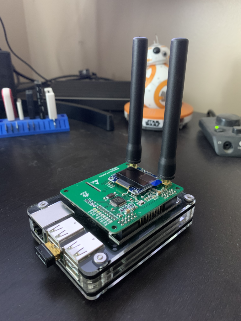
Enter the Raspberry Pi – a low-powered ARM-based PC used by hardware nerds all over the world. The device’s small physical footprint and low-power draw means these little computers are great for doing work where using a full-size computer system would be massively overkill.
Aircraft carry what is called an ADS-B transponder for transmitting their GPS location and various other metrics, along with an identifier. This transmission occurs over 1090MHz and is completely unencrypted, allowing anyone with an inexpensive software-defined radio to receive it.
Numerous projects around the internet aggregate this data from feeders, allowing a near real-time display of aircraft on a map. Some of these services require a subscription to access this data, or feeding them data. These commercial flight tracking sites also allow owners and operators of aircraft to block their aircraft from this site, effectively allowing them to operate unobserved. Airplanes.live is different – it’s community run, community funded, and doesn’t block any aircraft from their data.
Update: Post edited to suggest Airplanes.live as opposed to ADS-B Exchange. ADS-B Exchange is at the center of a controversial acquisition by venture capital.
I’ve been happily feeding Airplanes.live for quite some time now, improving the public ADS-B data in the Salt Lake City area. Armed with a Raspberry Pi, this inexpensive SDR, and a minimal antenna, you can too. Airplanes.live has a great guide (along with a pre-built Raspberry Pi image) to get you started.

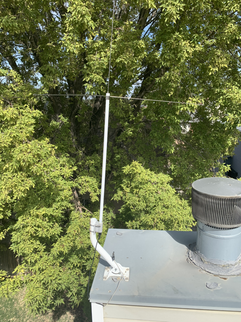
If you want to improve your data, you can even get a better antenna and put it somewhere high for better reception. My upgraded antenna on my roof provided a significant improvement of reception range.
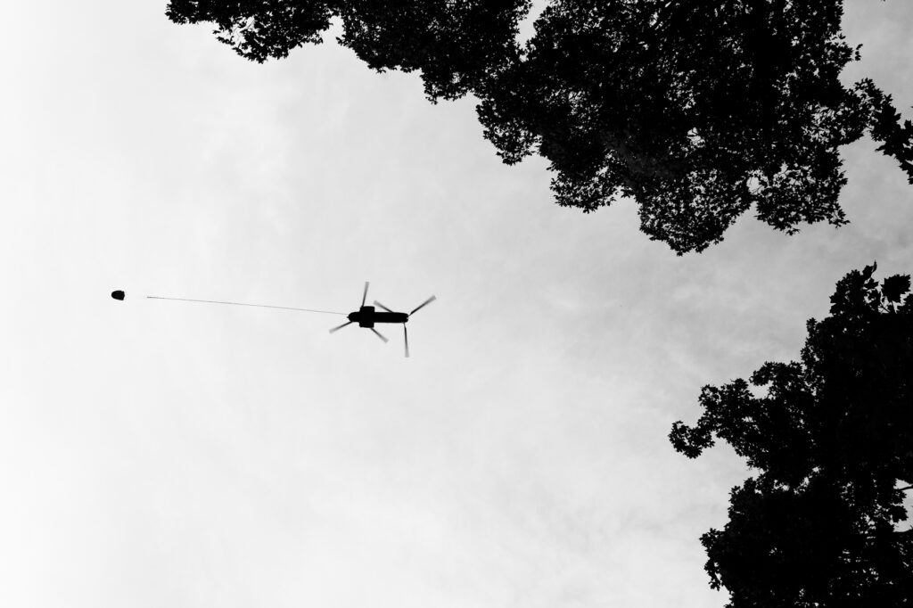
So what’s the use of all of this data? For me, this gives me insight into all of the awesomely engineered aircraft flying over my head and allows me to get to capture striking photos of the more notable ones. With wildfires raging around the western United States, aerial firefighting crews have been supporting the heroic firefighters on the ground protecting lives, homes, and other structures.

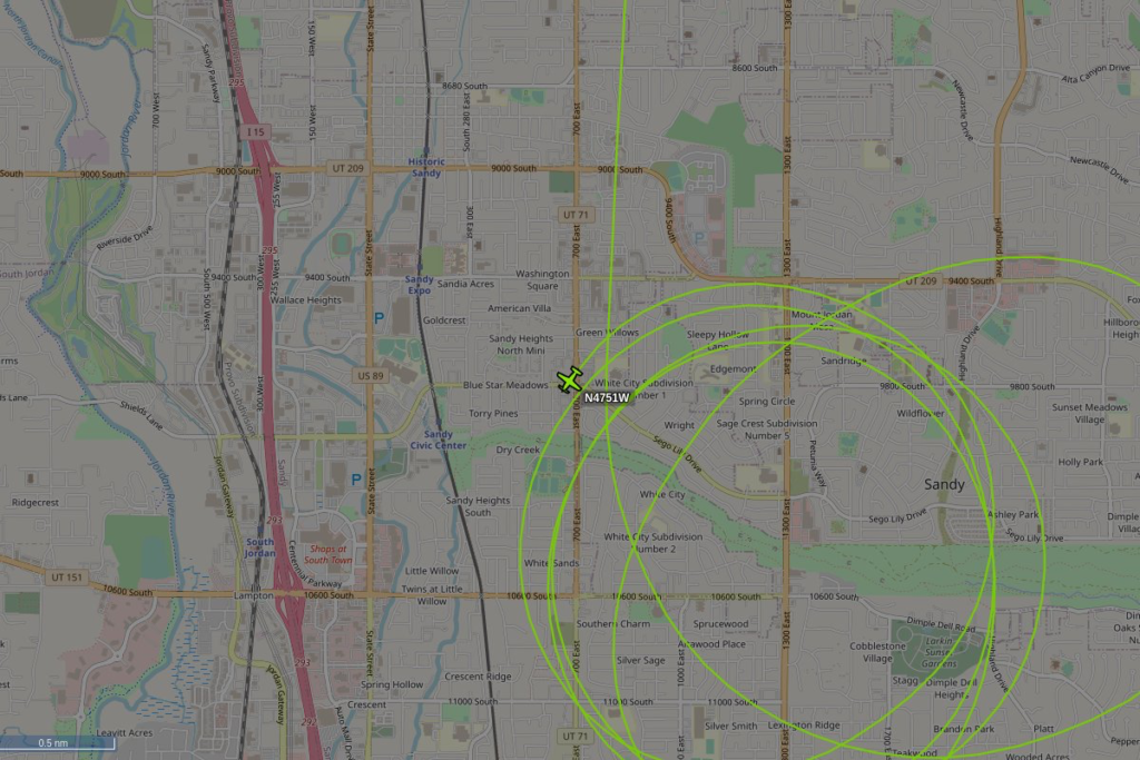
In addition to telling me where and when these aircraft are operating, it also gives me insight into surveillance aircraft flying overhead. A very cool piece of software (Advisory Circular) that uses this ADS-B data to power a Twitter bot written by John Wiseman keeps tabs on aircraft circling the sky nearby. I even used my own copy of this bot (@SkyCirclesSLC) to discover that the DEA was likely flying around the Salt Lake City area with a Stingray – a device used to intercept and track cell phone traffic.
Update: With the demise of Twitter as a social media platform, I’ve since moved a rewrite of the bot to BlueSky (@SkyCirclesSLC.bsky.social). It can be found with the same username there, but running my own Typescript rewrite and rethink of the bot. I’m planning on enhancing the bot with tracking of other types of flight patterns.

The whole thread on Twitter (now dead) was quite an adventure, pointing the ownership of that aircraft toward a company in Houston that the DEA uses as a way to not attract attention.
If you’ve got the time and interest in the aircraft flying over your head, I’d strongly recommend taking on the project to feed Airplanes.live with more data for your area.
